Helicopter Rescues, Roads Closed, Sandbags Filled: SE Washington And NE Oregon Hit With Floods
Listen
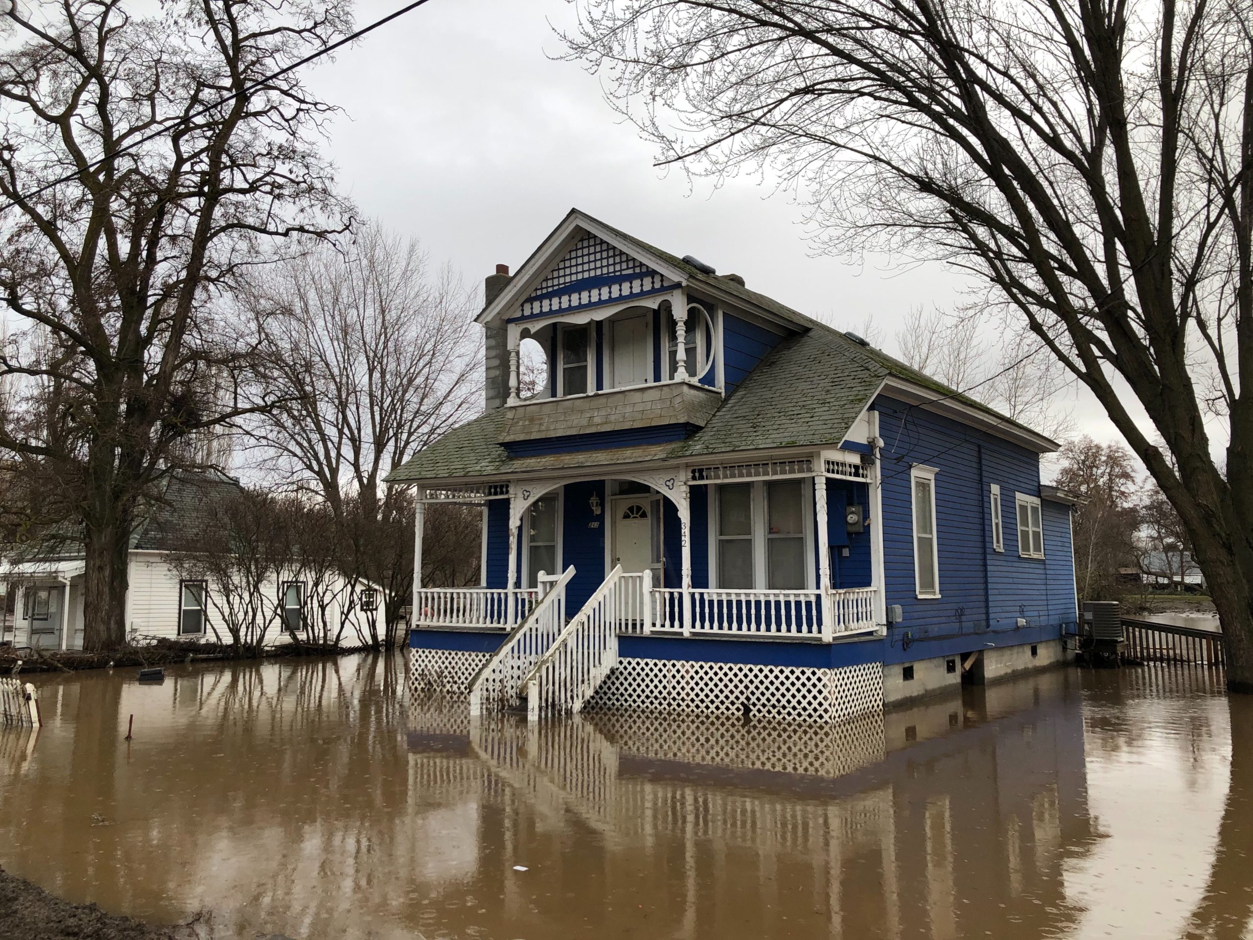
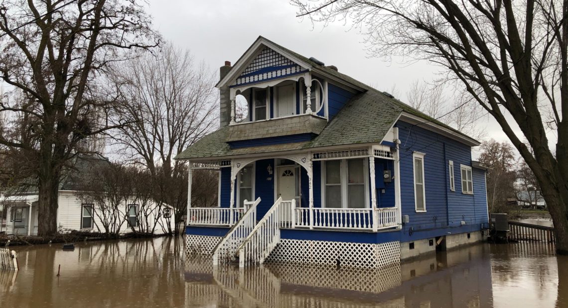
Flood waters in southeastern Washington and northeastern Oregon are starting to recede. But this relatively good news follows days of bad news and inundated towns – along with collapsed bridges, dozens of helicopter rescues and washed-out roads.
It’s all caused by recent heavy rainfall and fast-melting snow.
The floodwaters haven’t been this high in the region in a quarter century, since a record and damaging regional flood in 1996.
“It’s significant, I mean it’s really, really come up,” says J.C. Biagi.
The Biagi family’s farm is just outside Waitsburg, Washington. The Touchet River – a massive torrent on Saturday afternoon – was menacing just beyond their backyard chicken run. J.C. says it’s been frightening to watch all that water climbing the banks toward his house.
“I was telling my wife Katie (Friday morning), ‘Ah we’ll be fine, that it’s going to blow through here,’ and we got home to rising water.”
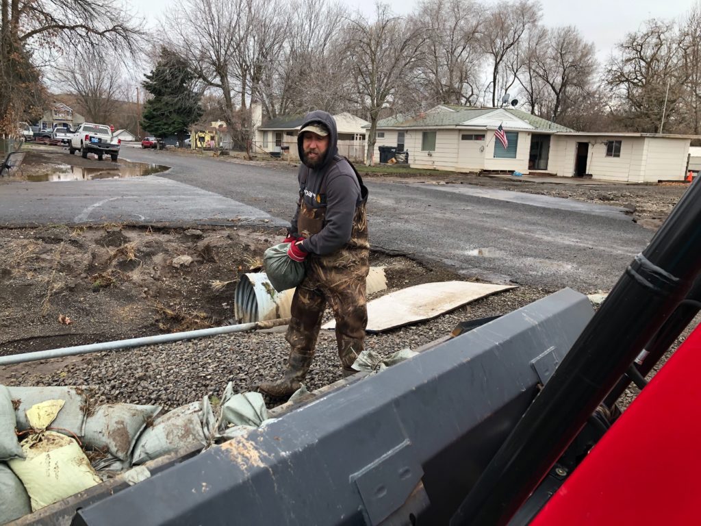
Brandon Cole, of Waitsburg, Washington, helps his neighbors remove sandbags Saturday, Feb. 8, after flooding in his neighborhood off Harmon Road. CREDIT: Anna King/N3
By Saturday afternoon the heavy rain had stopped in Waitsburg, a town built on wheat and timber.
Downtown, sandbags were getting picked up and tossed into a tractor’s bucket.
Brandon Cole says the receding water has left a mess. Backyard grills, boulders and power poles have all been strewn around the neighborhood. Cole is left with a soaked-through house, a ripped up yard and a driveway that’s undrivable because of all the water damage.
“It was all the way to the top of the porch, so coming through the house,” Cole says.
He’s got a roaring fire going to dry out the smelly mud in his house. But there’s not much else he can do right now. Neighbors stop by to check on them, and Cole just says he’s just waiting on the insurance company when asked by a neighbor if he needs any help.
Down the road, Leroy Cunningham says he and his husband are more fortunate than many of their Waitsburg neighbors.
“What can you say, we’re still here,” Cunningham says.
But, he’s worried. The levee protecting much of town has washed away.
“It’s a foot and half about off that bank right there right now,” Cunningham says. “If we get another rain storm, it would happen all over again, I would fear.”
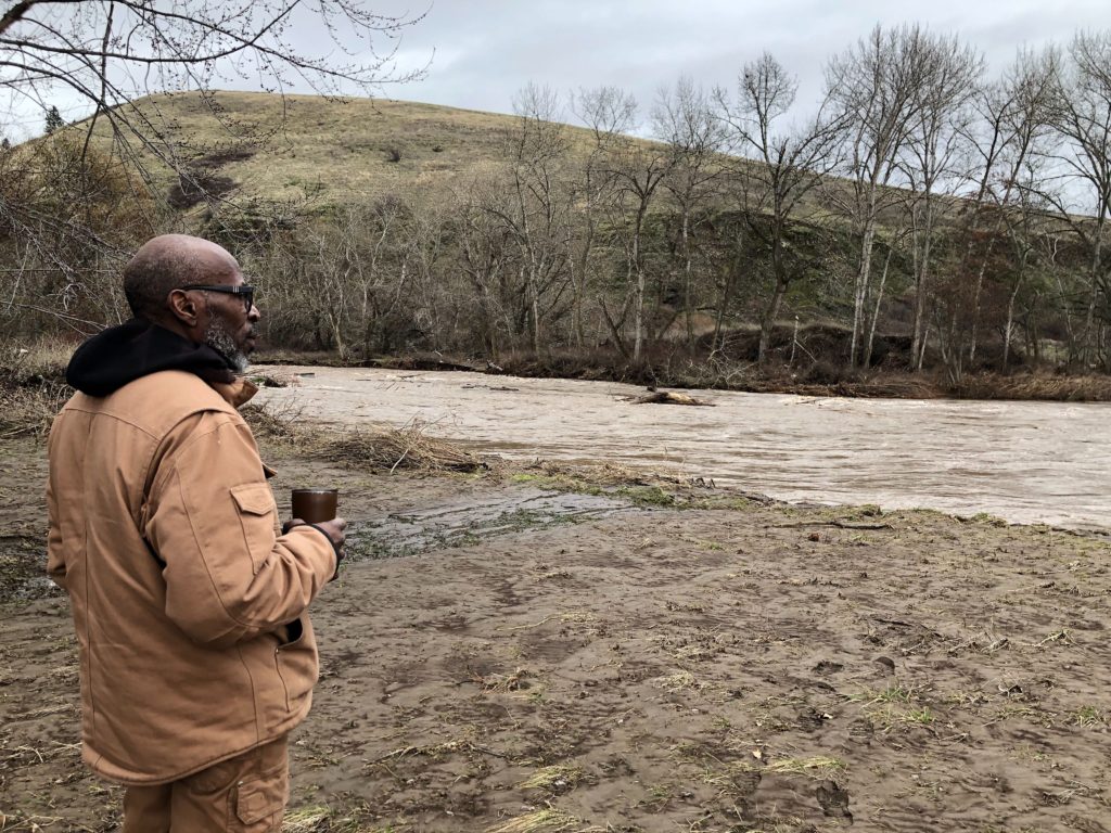
Leroy Cunningham, of Waitsburg, Washington, looks at the Touchet River behind his near century-old farmhouse. Cunningham says he and his husband lost their fine Northwest wine collection in the flooded cellar, but the rest of their property made it. CREDIT: Anna King/N3
Northeastern Oregon
An hour drive south of Waitsburg in northeastern Oregon, the flooding forced many who live on the reservation of the Confederated Tribes of the Umatilla to leave their homes. For now, displaced families are staying at the tribes’ Wildhorse Resort & Casino in Pendleton.
More than 50 people were rescued by crews out of Umatilla County as of late Sunday afternoon. Search and rescue teams on foot and two helicopters were kept busy all weekend.
Part of Interstate 84, a major east-west corridor in the region, remained closed Sunday night near Hermiston, according to the Oregon Department of Transportation. Additional road closures continued in northeastern Oregon around the Pendleton and Milton-Freewater area as high water swept over roads.
ODOT urged travelers in the region to get updated information from the state’s travel site, tripcheck.com, or call 5-1-1 for road information.
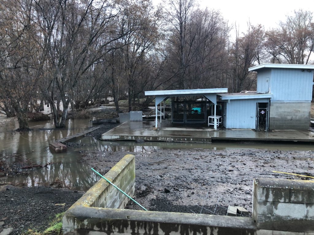
The lamprey restoration project by the Confederated Tribes of the Umatilla Reservation, near Mission, Oregon, was destroyed. The tribes are working to restore this valuable traditional food source by rearing juvenile lamprey. CREDIT: Anna King/N3
Leaders from the Confederated Umatilla tribes are set to meet with officials from the Federal Emergency Management Agency this week.
On a remote stretch of the reservation, at the foot of the Blue Mountains, tribal spokeswoman Jiselle Halfmoon was walking down a road over the weekend. She says the tribes have spent nearly 20 years trying to restore the Pacific lamprey fish population. The jawless fish are native to the Northwest and a sacred food for tribes. Halfmoon says floodwaters took about 500 fish from the tribes’ fisheries management project.
“To see them wash away before they are ready to be released is very sad,” Halfmoon says.
Fishery crews have been able to rescue 20 lamprey so far, and they’re hoping to find more.
Related Stories:
Why do atmospheric rivers hit some areas more than others?
Rain, flooding, storms – all pretty standard for Western Washington, but sometimes weather patterns spare some areas that have flooded before.
That was the case at the beginning of December, when Western Washington got so much rain that it caused flooding from the Stillaguamish River to the town of Rosburg.
New flood management plan considers more flooding types
After about five years in the works, the Pierce County Council adopted a new Comprehensive Flood Hazard Management Plan that broadens the scope of what kinds of flooding the county will plan for – from coastal to urban flooding.
Angela Angove is the floodplain and watershed services manager with Pierce County Planning and Public Works. She said different types of flooding are top of mind for people in the county, recalling the King Tides that caused tidal flooding last December.
The immediate impact of levee setbacks in Pierce County
In the foothills of Mt. Rainier runs the Carbon, the Puyallup and the White Rivers, meandering through towns and cities, along roadways and near homes, the paint strokes of the natural environment now surrounded by a human-built ecosystem. Once tightly restricted by levees, these rivers are beginning to again flow closer to how they would have, not adhering to the confines and rules of where humans want water to go.

